Three jobs. Three methods. One accuracy.
Surveying is not a desk job for us. Whether in the river below a weir, in a streambed under a bridge or on the slope of a new development: we choose the method to suit the task – levelling staff, total station or GNSS – and deliver data that designers and authorities can work with directly.
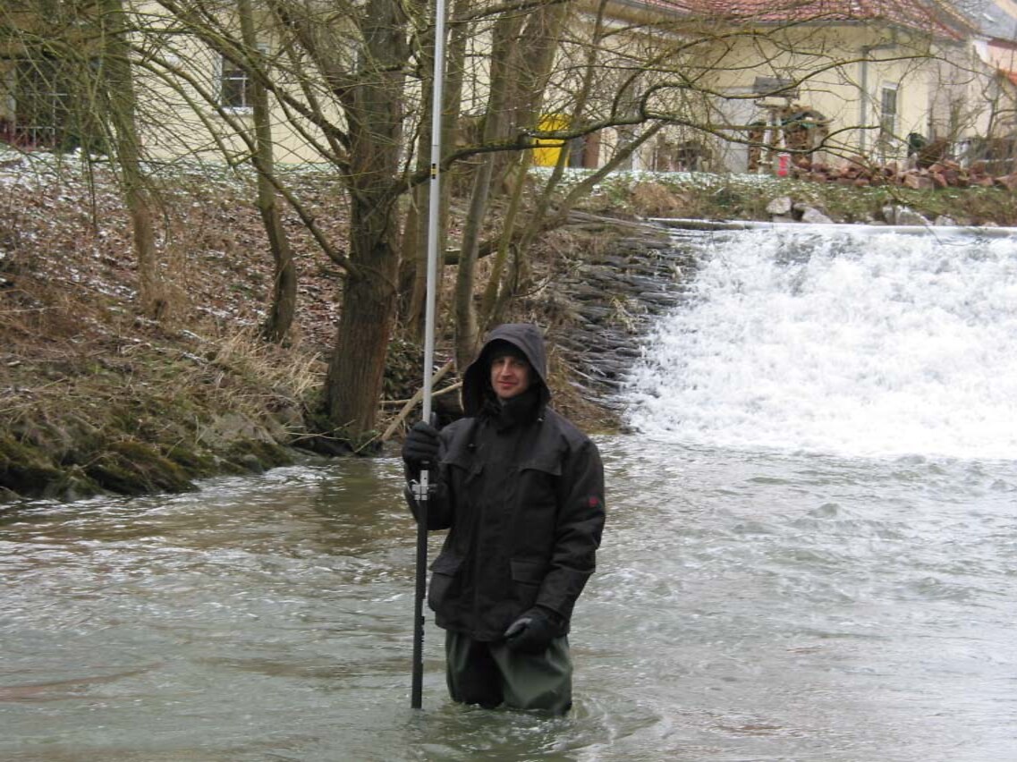
In the river, below the Diez weir.
Andreas Bruns during a river survey – seen from downstream of the Diez weir. Using a levelling staff and prism, the bed, water surface and bank line are recorded in cross sections.
These profiles are the basis for every hydraulic calculation: without exact bed levels there is no reliable water surface profile, and without that no permittable fish pass. At Diez they yielded a design discharge of 53.91 m³/s and the geometry of the bypass channel.
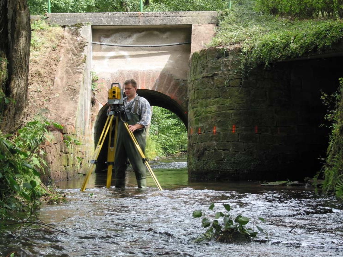
Under the bridge, in the streambed.
Lynn-Marco Foese during a structural survey – seen from downstream of a bridge. Culverts and bridges are hydraulic bottlenecks: their exact geometry decides whether a flood passes through or backs up.
With the Trimble total station the abutments, arch, bed and flow cross section are recorded reflectorlessly – including where nobody could hold a prism. The result feeds into water surface calculations, as-built records and refurbishment planning.
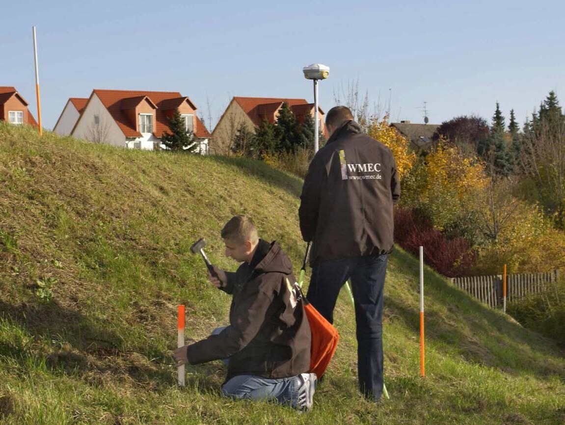
On the slope of a new development.
WMEC setting out – marking a housing development with wooden pegs. With the GNSS receiver the planned boundaries, axes and levels from the development plan are transferred to the ground with centimetre accuracy.
For developers and contractors that means the excavator and the designer speak the same language. What is in the DWG is also in the field – marked, documented, verifiable.
Data you can work with straight away.
For planning offices it is not the photo from site that counts but the file afterwards. So we deliver in your format, in your system, with a clean layer structure.
Position & height
- ETRS89 / UTM32 (standard)
- DHHN2016 (heights)
- Gauss-Krüger on request
- Project-specific site networks
Formats
- DWG / DXF (AutoCAD, LANDCAD)
- ASCII / CSV point lists
- GAF profile files for watercourses
- PDF drawings, stamped
Documentation
- Measurement records & accuracy proof
- Control point descriptions
- Signed setting-out records
- Photo documentation
Time
- Regional visits in the Odenwald at short notice
- Data usually within a few working days
- One point of contact – from enquiry to file
Do you need survey data for your project?
Tell us the location, the purpose and the format – we will reply within two working days with a date and a price.