Hydraulic engineering & water law
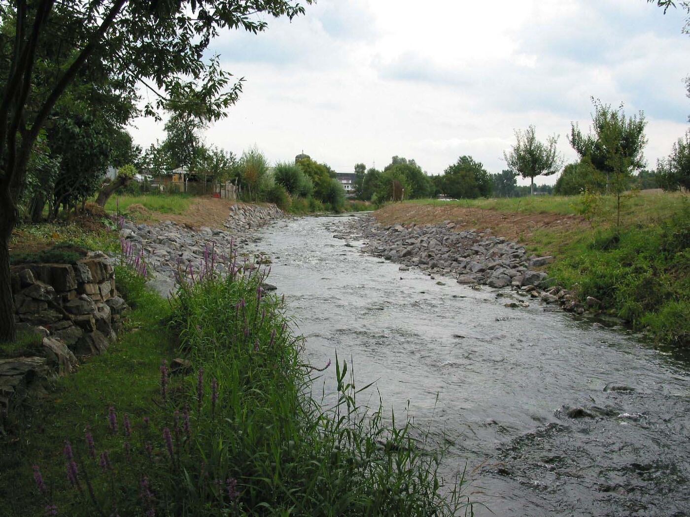
- River restoration & continuity
- Fish passes, rock ramps, weir conversion
- Hydraulics: discharge & water surface profiles
- Flood & stormwater retention
- Water rights applications
- Design, HOAI phases 1–9
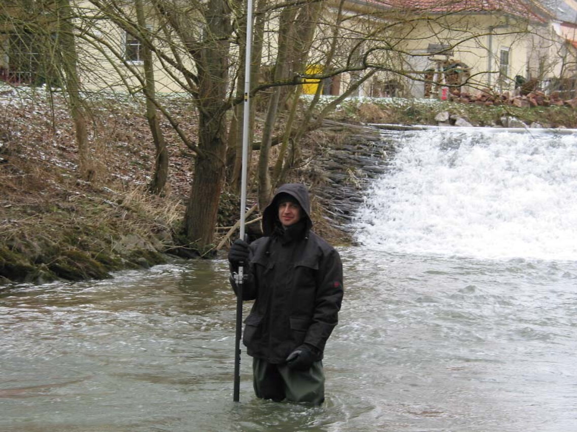
Designing watercourses. Calculating flows. Surveying terrain. Since 2004 – all HOAI phases 1–9 from one office.
New planning projects from Q1 / 2027
Whoever measures here also does the maths. That saves you an interface.


Roughly, more or less and approximately are foreign words to us.WMEC principle since 2004
Tell us who you are – your enquiry lands on the right subject straight away.
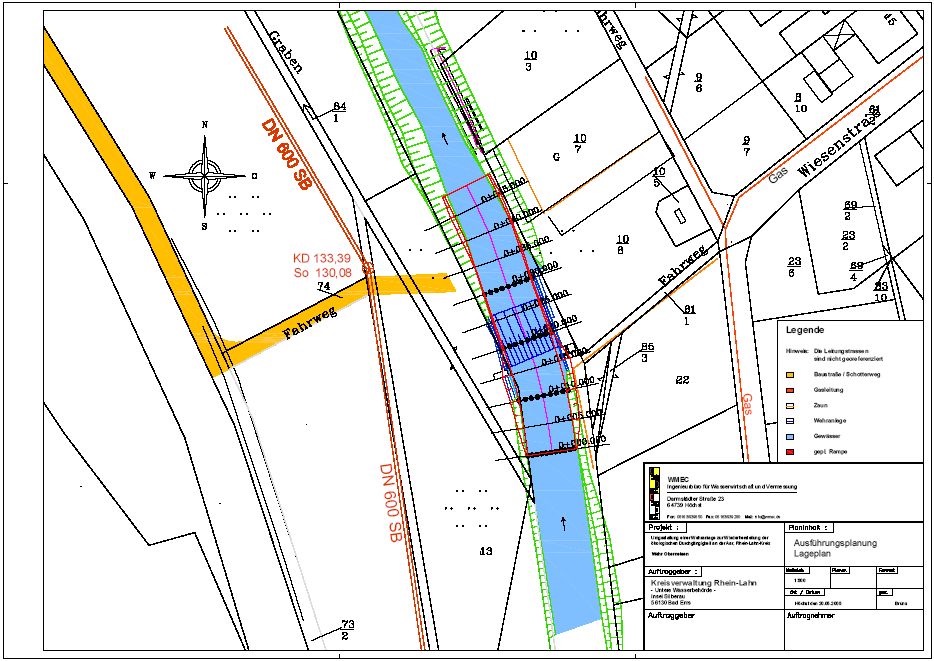
Every project documented openly – with site plan, longitudinal section and cost.
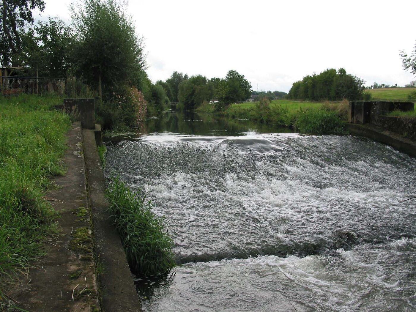
AAR · 2005Rhein-Lahn district authority · HOAI 1–9
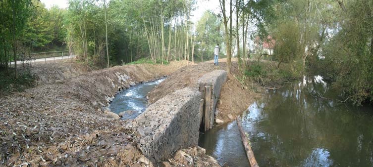
AAR · 2005Town of Diez · HOAI 1–9
ON SITERiver · structure · development
Four steps. You know from the start what we need from you.
The form takes three minutes. Answer within two working days.
Scope, documents, dates – then a written quote.
Measurement, calculation, drawings in your authority's format.
Application documents, as-built plans, support through to handover.
Sovereign tasks (ÖbVI or the land management office): boundary determination, land subdivision, the official cadastral building survey, the official site plan.
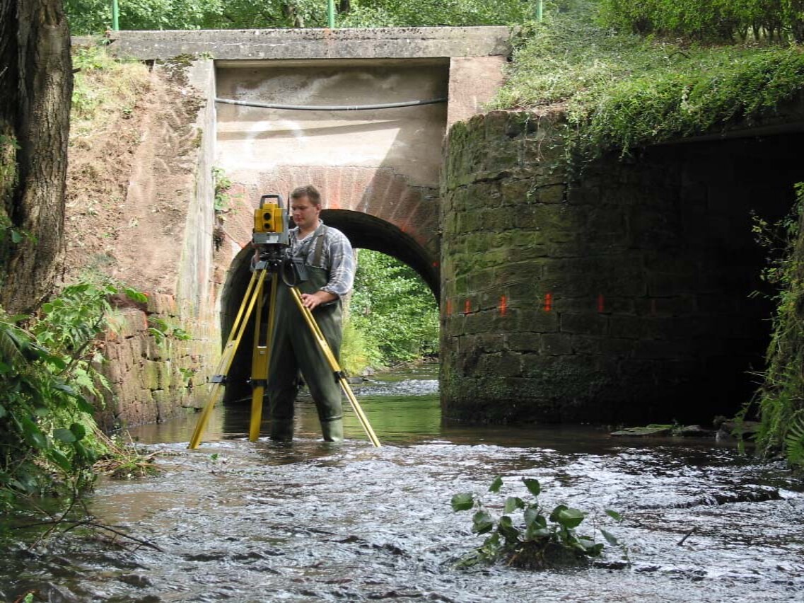
Engineering surveying (WMEC): topographic surveys, level surveys, setting out, as-built documentation, river and structural surveys.
For a site plan and level survey:
For setting out we also need the approved site plan and the floor plan with dimensions.
It depends on area, terrain and required accuracy. Design work is invoiced under the German HOAI fee scale, surveying usually as a fixed price.
After your enquiry we will give you a written range – with no obligation.
Our part takes a few weeks depending on scope, the authority's procedure typically several months. So start early – especially where funding deadlines apply.
New design projects from Q1 2027. Short-notice individual visits only to a limited extent – state your timeframe in the form and we will tell you honestly whether it works.
DWG/DXF, ASCII/CSV, PDF. Position ETRS89/UTM32, heights DHHN2016 – or to your specification.
Four short questions – then we can place your project straight away.
What do you have in mind? Tap it – we will tell you straight away who is responsible.

Since 2004 we have combined water management design with engineering surveying. Stream, retention basin or housing development – it always begins with an exact measurement.
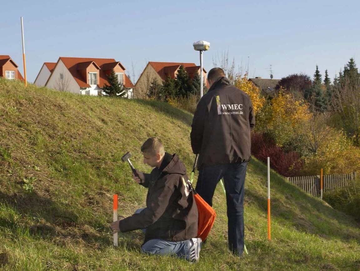
We are a small office in the Odenwald. The person who talks to you also stands in the stream.
Quick questions by phone. New projects preferably through the form – then we have everything together.